
The Buckles Lake trail is a relatively flat and easy trail, making it suitable for the entire family. Buckles Lake is a short distance from the trailhead and a great stopping point if you are hiking with small children. The trail continues past Buckles Lake to Harris Lake. Both Buckles and Harris Lakes are reservoirs […]
aspens

Little Blanco Trail Hike
Little Blanco Trail is rated difficult due to the steep elevation climbs. However the scenic views are well worth the effort. The trail leads through several large aspen groves, so hiking the Little Blanco Trail during the fall is amazing. During the summer months, colorful wildflowers cover the landscape. The first two miles climb over […]

Opal Lake Hike
Elevation Start: 8739 ft at trailhead Elevation at Peak: 9190ft Trail: Out and Back Trail Length: 2.5 miles total Allowed: Hiking, Dogs Opal Lake Trailhead No. 564 The Opal Lake Hike is a short 2.5 mile out and back requiring a 500 ft climb ending at the lake. The trail is popular during the summer and fall […]
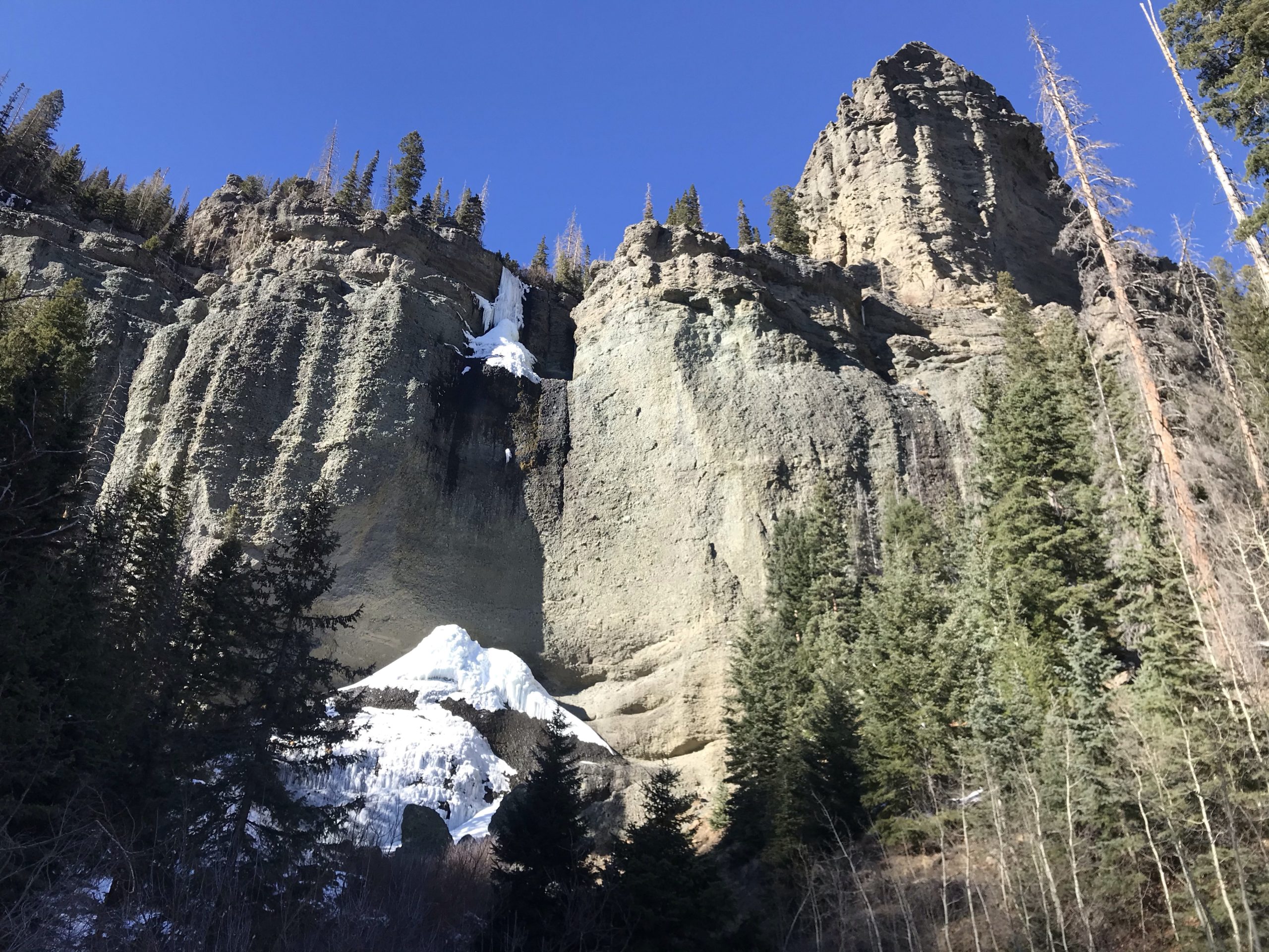
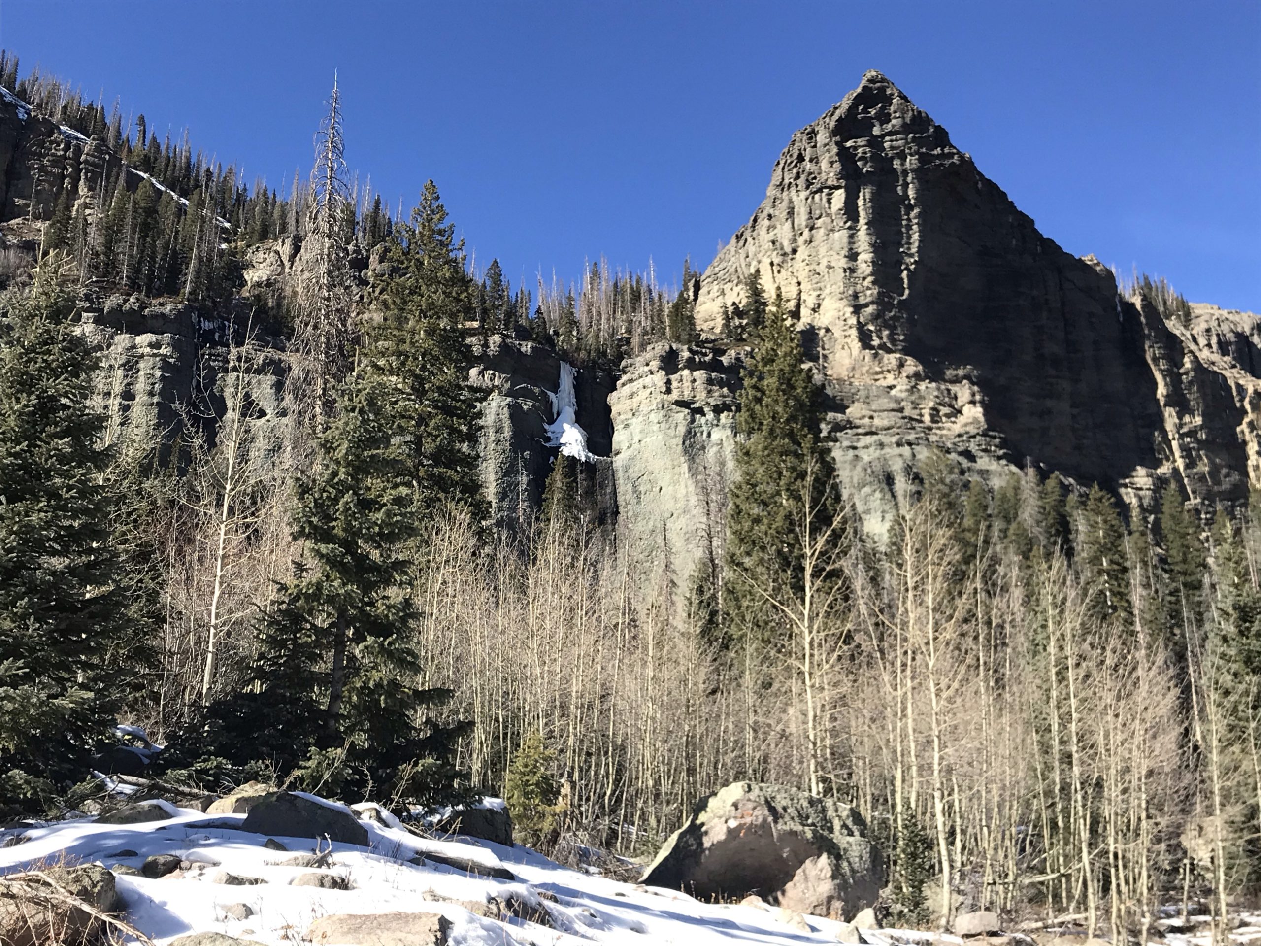
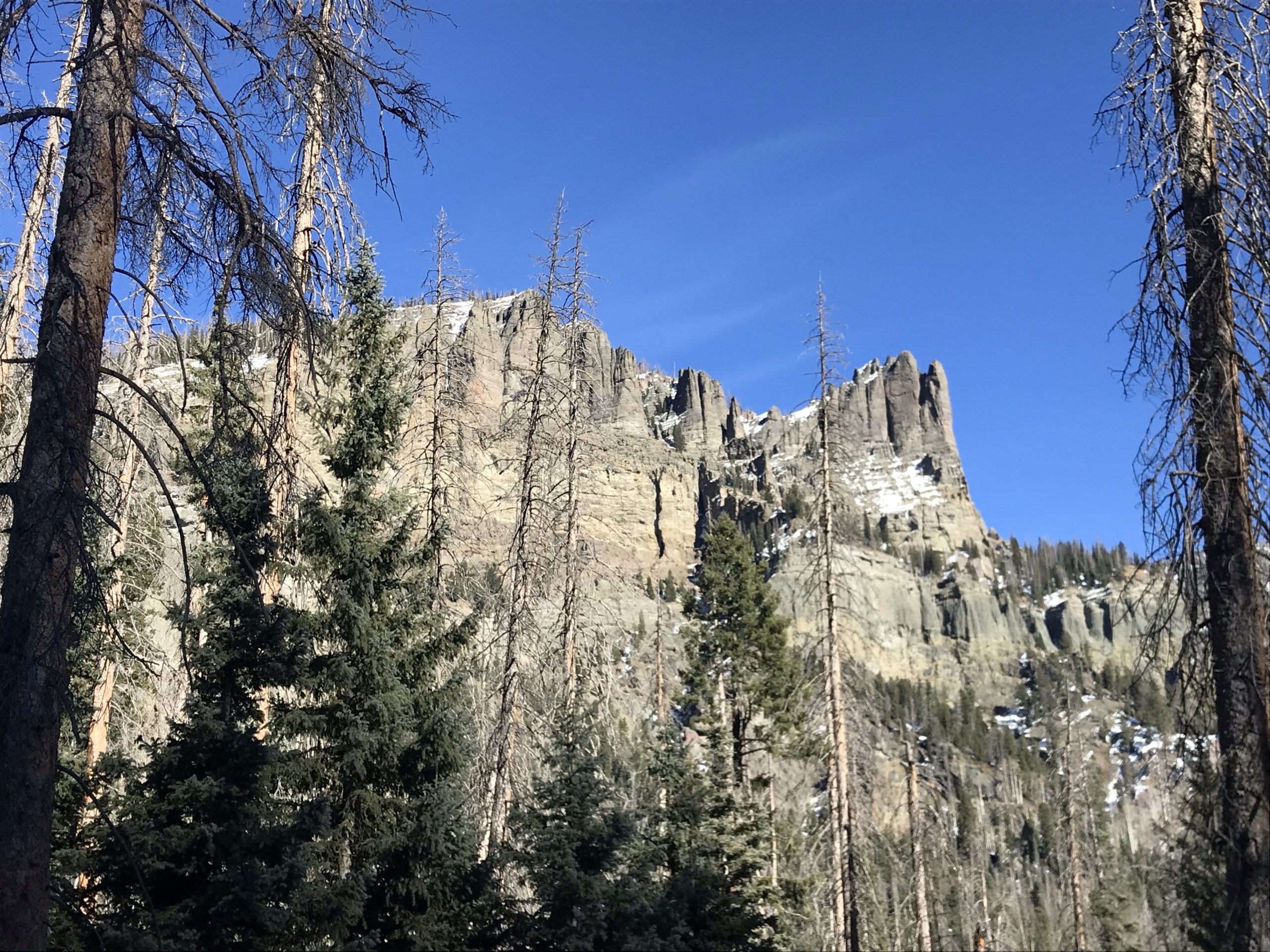
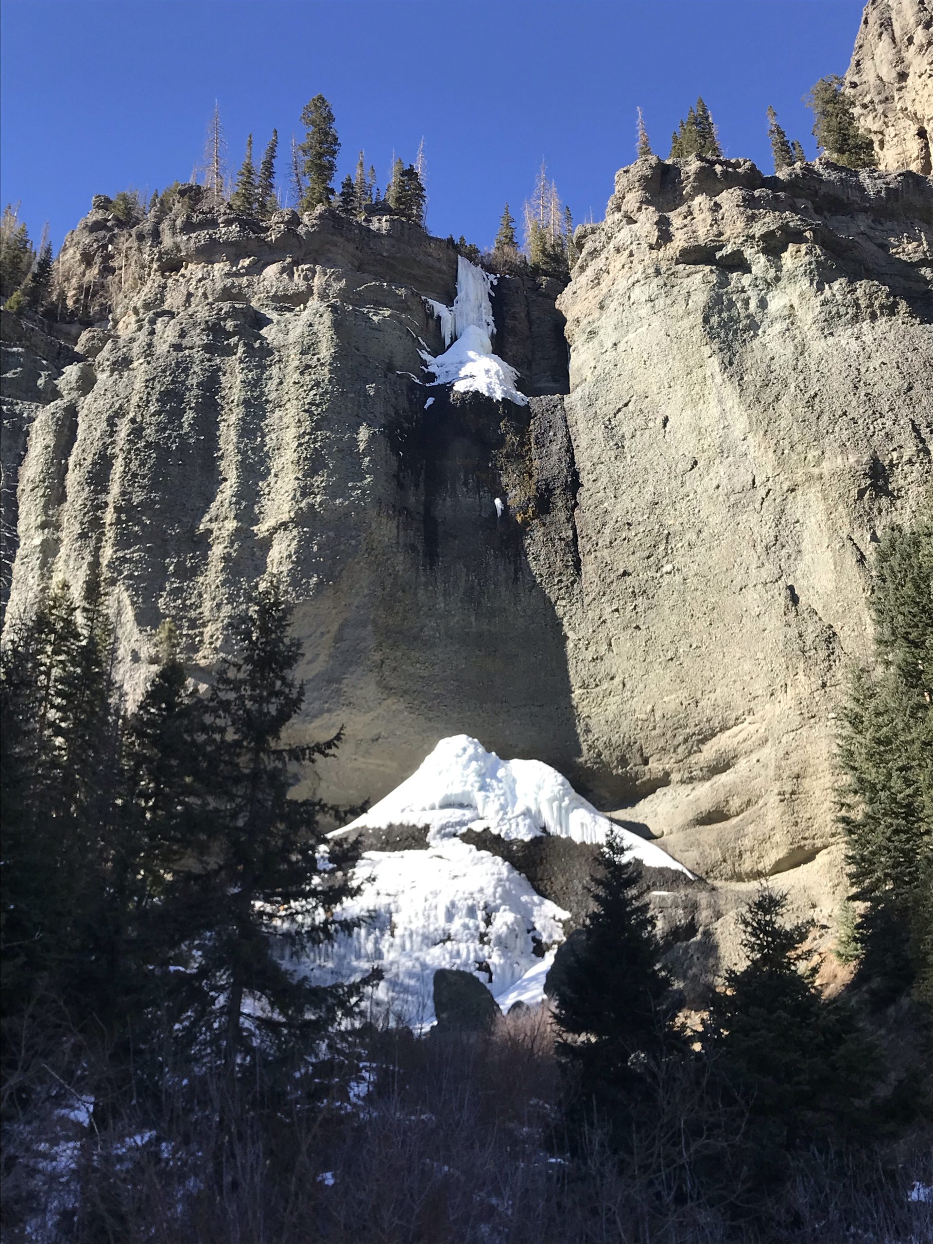
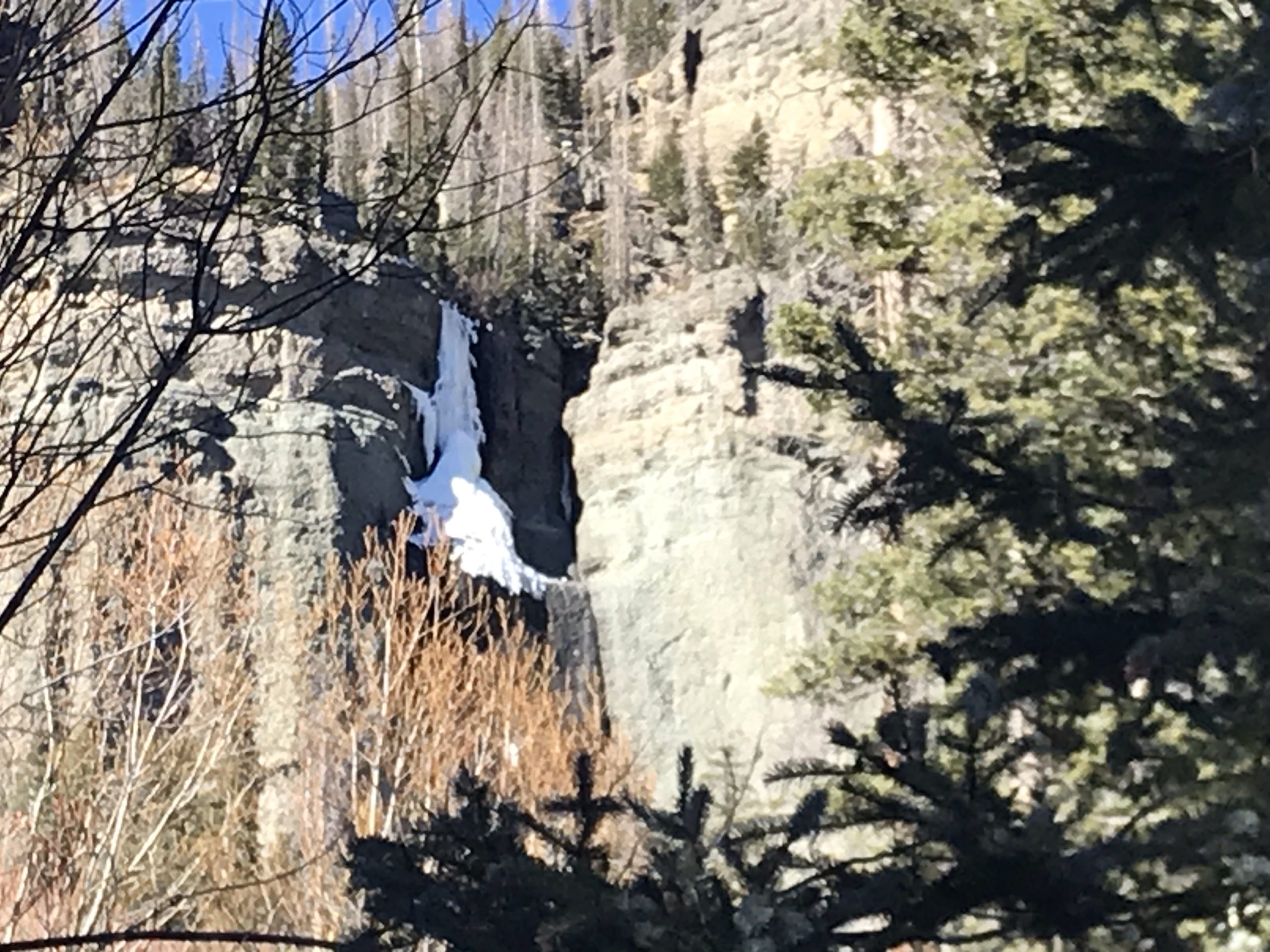
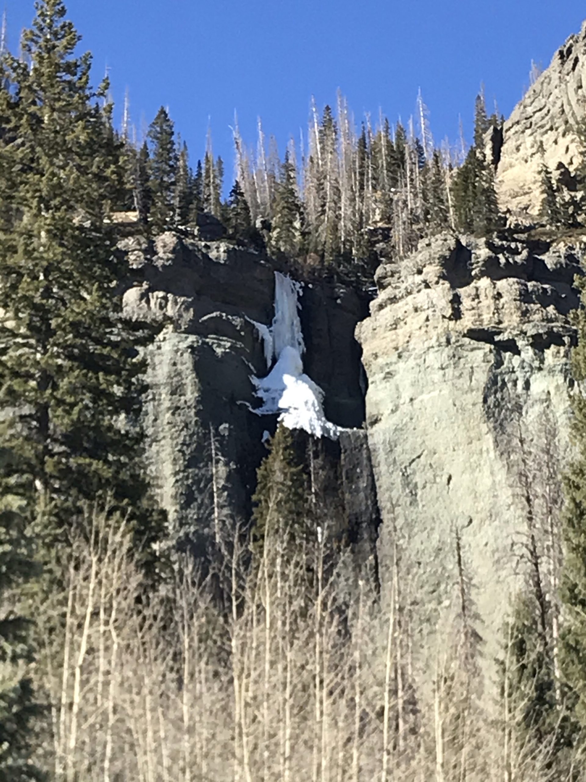
Fourmile Falls Hike
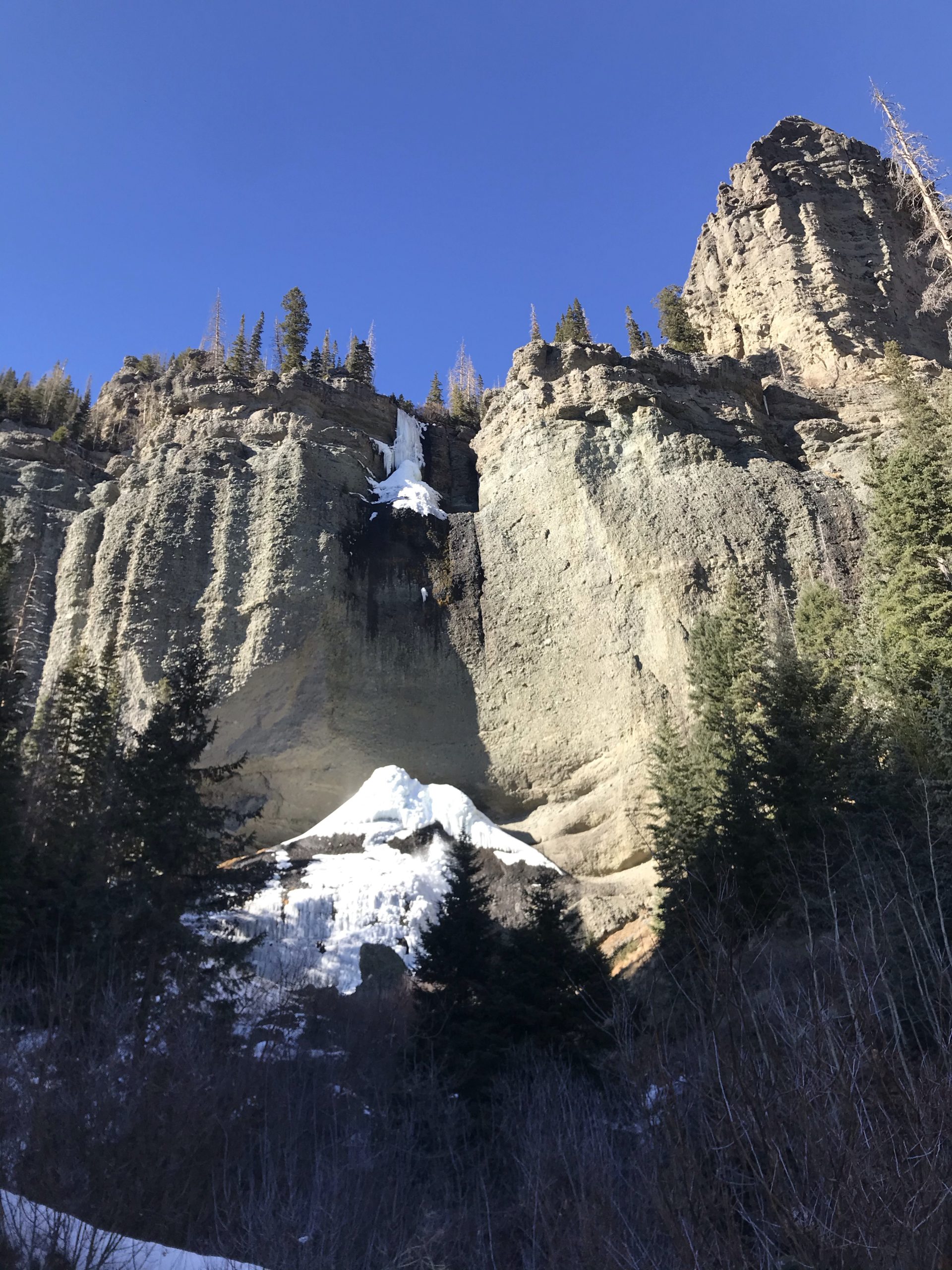
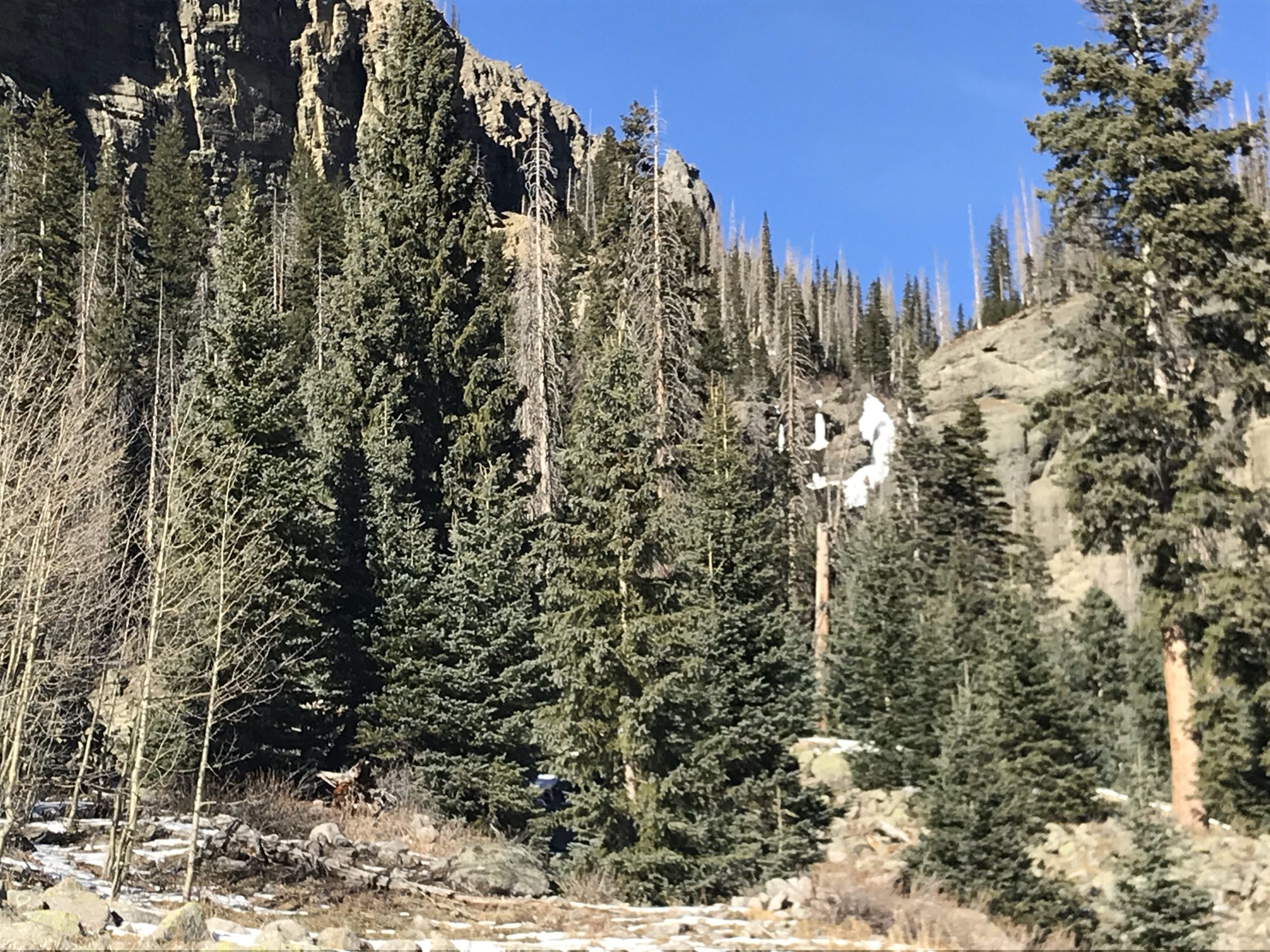
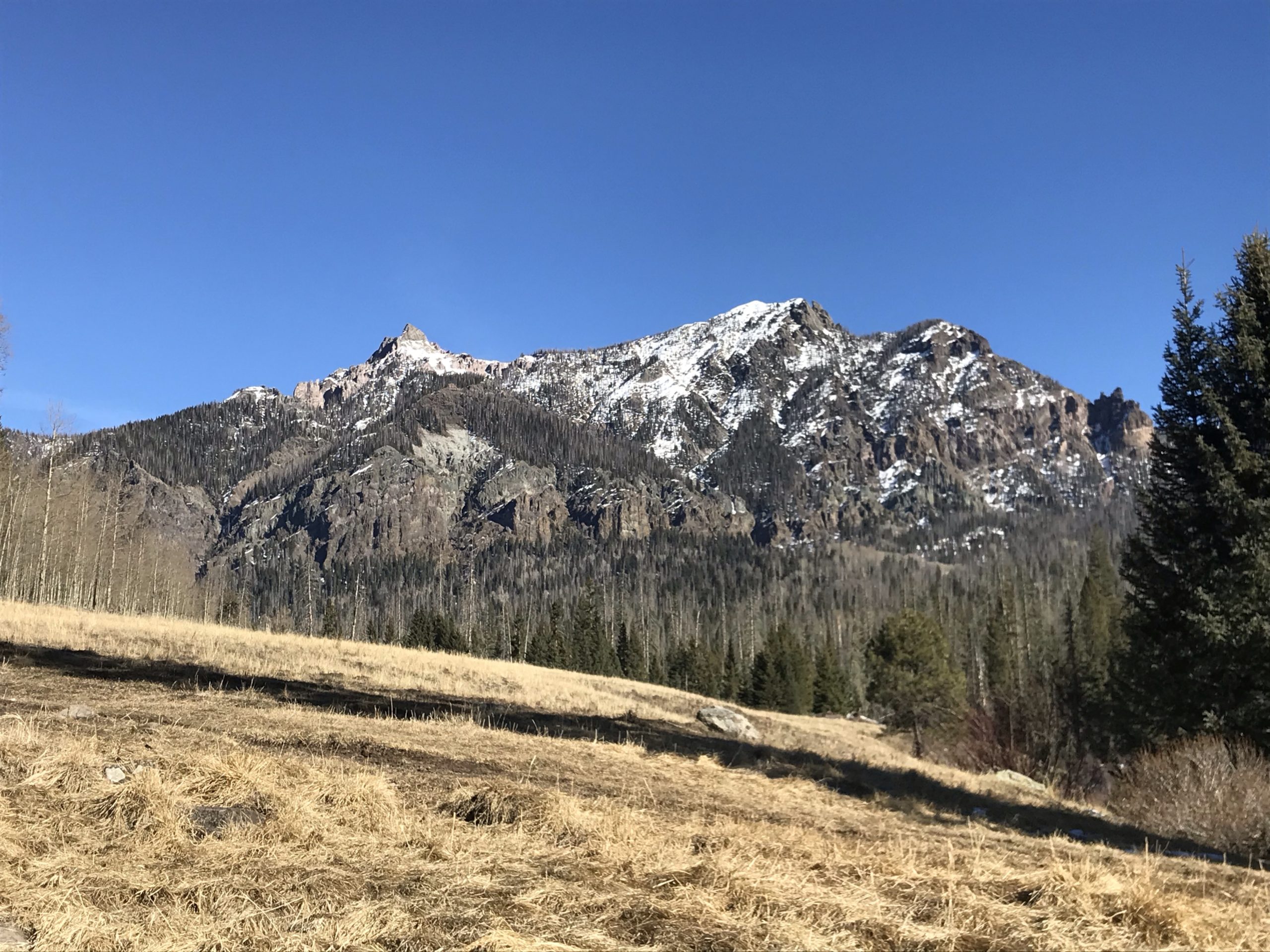
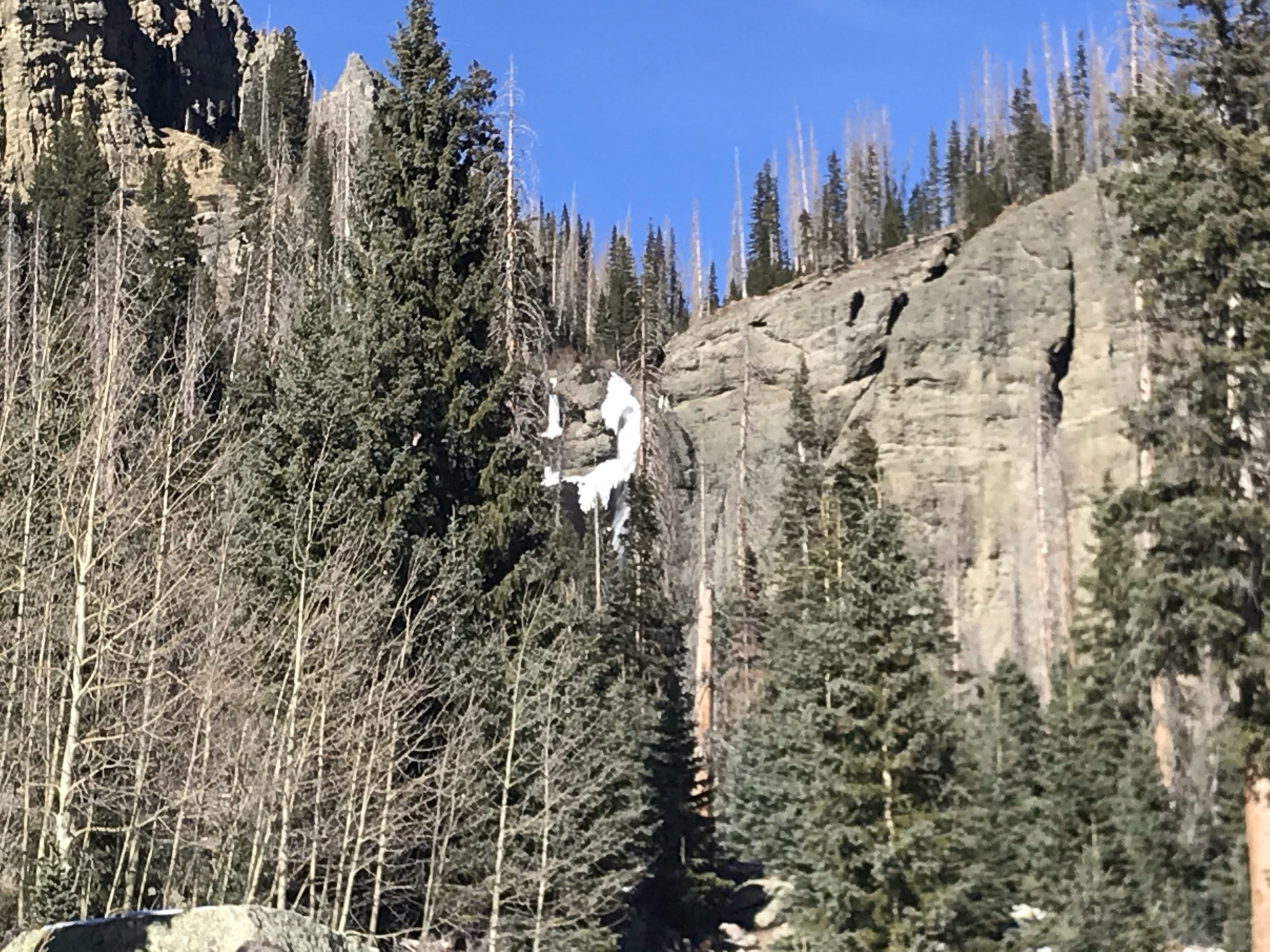
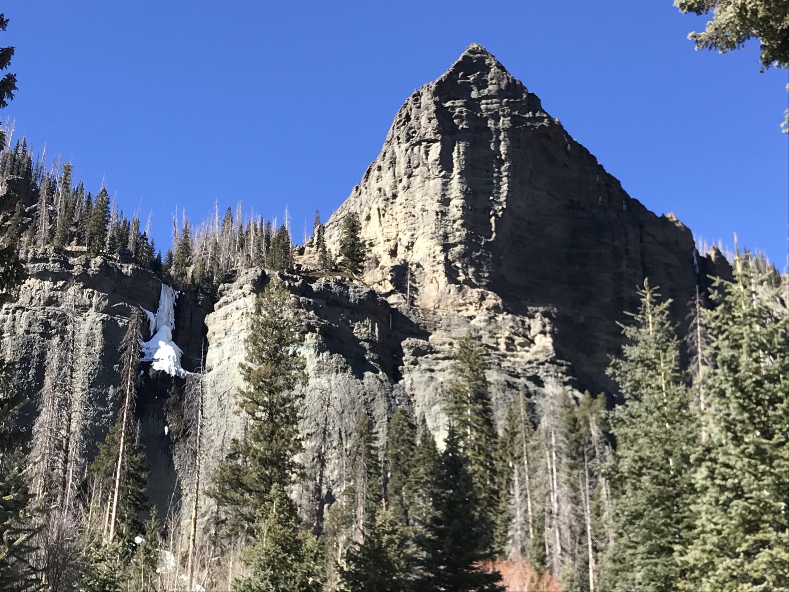
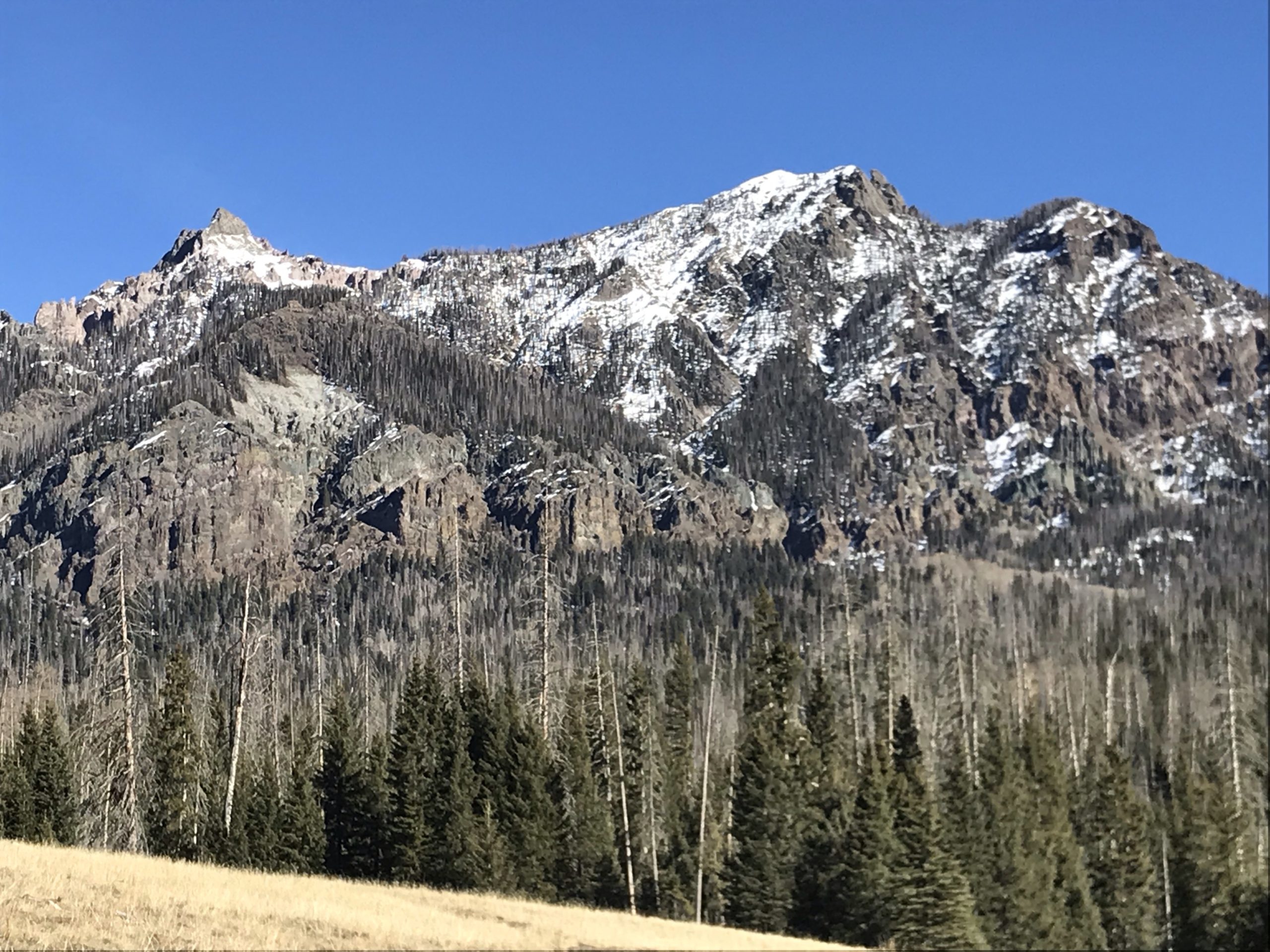
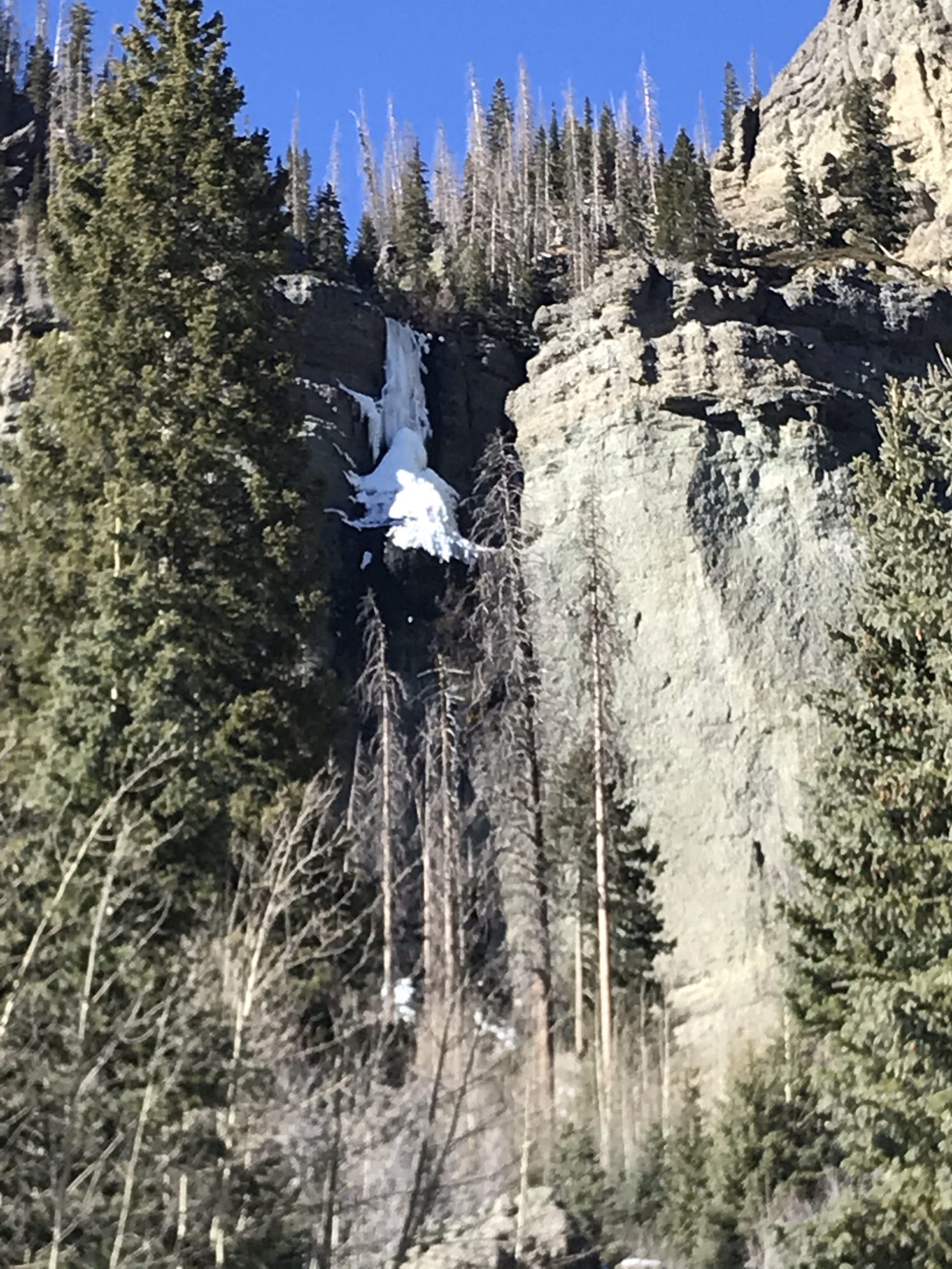
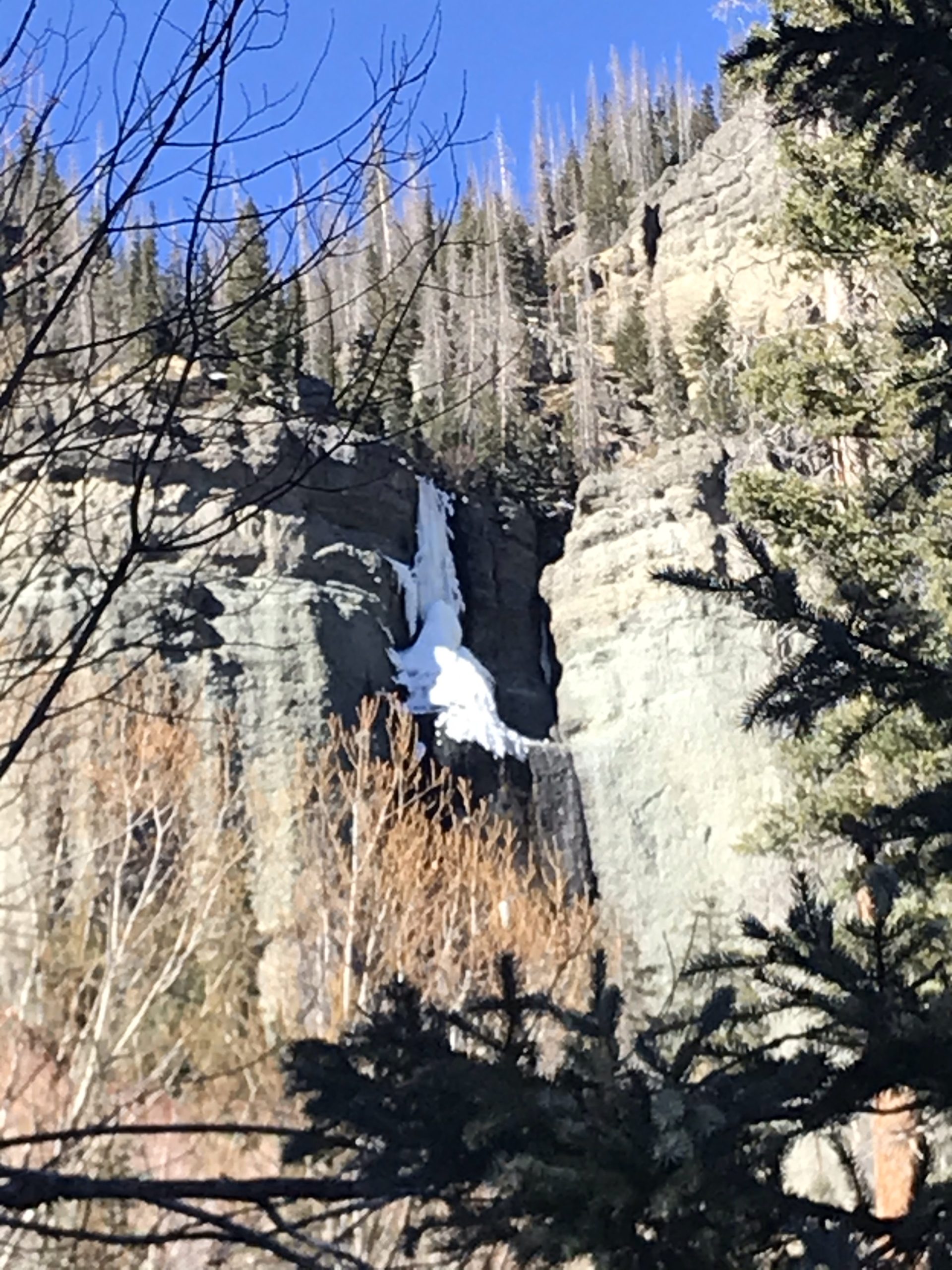
The hike at Fourmile Falls hike is intermediate grade, and does not have a lot of steep climbs. The views during the out and back hike are great with the trail running between Pagosa Peak and Eagle Mountain. Even though the views are plentiful during the hike the goal is to make it to the waterfalls at the end of the hike. Multiple waterfalls are viewable up close depending on your preference. Due to wanting to get close to the waterfalls, scaling a steep climb is necessary, however, the rewards of going behind the waterfall is worth the effort.
- Elevation Start: 9200 ft at trailhead
- Elevation at Peak: 9767ft at base of Waterfall
- Trail: Out and Back
- Trail Length: 6.5 miles total
- Allowed: Hiking, Dogs, Horses
- Fourmile Falls Trailhead No. 569
The trail itself is undulating and has its up and down trajectory sections, but the overall elevation gain is only 500 ft. For those not acclimated to the altitude, the starting elevation over 9000 ft would add some difficulty in oxygen levels. A couple of sections of the trail heading towards the waterfall include an elongated climb, but the trail is well-defined and does not require any technical ability. The most difficult aspects of the trail are the water crossings. Depending on the time of year, you will cross a large stream requiring the use of logs and rocks to successfully cross. The trail requires multiple small stream crossings. However, most stream crossings are minor and easy to navigate.
Trail Conditions
The trail is well-groomed due to trees and brush removal on a regular basis. Towards the winter months, it might be slower in response which requires you to climb over, under or around some trees on the trail.
Pet Friendly
Fourmile Falls trail is dog friendly with hikers frequently accompanied with a pet. The first 1.5 miles have access to plenty of water to drink, but as the climb in altitude grows over the last 1.5-2 miles, less water is available for your dogs to drink. Therefore, bring extra water for your dogs during the hike.
The beginning of the trail begins in the San Juan National Forest and then transitions into the Weminuche Wilderness. A sign marks the border between the forest and wilderness. Other than a sign alerting you to the border, nothing changes in terms of views or trail.
Directions
The Fourmile Falls Hike trailhead is about a 45 minute drive north from downtown Pagosa Springs Co. From Downtown, go north on 5th street (County Road 400). 5th St quickly turns into 4 Mile Rd. Stay on 4 Mile Rd for 8 miles and turn right at the y junction to Rd 645. Drive another 2.5 miles to the trailhead.
Below is a chart with the Elevation changes throughout the hike. Remember, it is an out and back trail.


